Unrasterize
Motivation
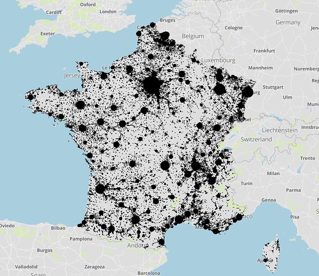
Raster data formats have become increasingly popular to represent global population density (see, for example, CIESIN’s Gridded Population of the World). But the sheer number of pixels can make working with raster data difficult for certain use cases.
Enter unrasterize, a lightweight package to extract representative population points from raster data. The resulting points exist in vector format (i.e., GeoJSON) and can be used by downstream applications.
Sample Output